FOR IMMEDIATE RELEASE
Press Release
Contact:
Laura Lapierre, Wetlands Program Manager
Department of Environmental Conservation
802-490-6177, Laura.Lapierre@vermont.gov
Montpelier, VT, September 30, 2022 – The Vermont Department of Environmental Conservation (DEC) will hold public hearings in October and November on a proposed rule to adopt edits to the state’s wetland maps.
The DEC has a map which identifies the general location of some protected wetlands (Class I and II) called the Vermont Significant Wetlands Inventory (VSWI). In 2019, the DEC completed more mapping of wetlands in the northwestern portion of Vermont in the Missisquoi River Basin. The new maps more accurately reflect wetland locations and need to be officially added to the VSWI.
“Wetlands – such as swamps, marshes, and bogs – are found throughout Vermont. They store flood water, protect clean water, and provide homes for wildlife,” said DEC Commissioner John Beling. “By updating these maps, we can help landowners avoid impacts to significant wetlands.”
From May to July 2022, the DEC received public comments on the updated VSWI. The DEC then reviewed comments and provided a responsiveness summary (bit.ly/3CK5IA0). By late August, the DEC decided to start rulemaking to formally adopt the edits to the VSWI. The Secretary of State placed the rulemaking filing on formal public notice on September 28, 2022.
Members of the public are invited to submit comments by November 12, 2022, to Laura Lapierre at Laura.Lapierre@vermont.gov and attend the upcoming public hearings:
- October 31, 2022, at 5:00 pm: Welcome Center, 51 Depot Square, Suite 100, St. Johnsbury, VT. Register to participate virtually (bit.ly/3UGJDZK).
- November 1, 2022, at 5:00 pm: Damon Hall, 1 Quechee Rd, Hartland VT. Register to participate virtually (bit.ly/3LLBgYJ).
- November 2, 2022, at 5:30 pm: RRPC Conference Room, 3rd Floor, 67 Merchants Row (Opera House), Rutland, VT. Register to participate virtually (bit.ly/3xSoK40).
- November 4, 2022, at 5:00 pm: 120 First Street, Swanton, VT. Register to participate virtually (bit.ly/3dK6H9h).
“If the State formally adopts the updated wetland maps, we can better protect these special places and their benefits,” said Beling. “However, even with the updates, we know not all protected wetlands will be mapped. You should still contact your District Wetlands Ecologist if you are proposing construction activities near a wetland, whether the wetland is mapped or not.”
Members of the public can find contact information for their District Wetlands Ecologist online (bit.ly/contactwetlands). They can also use the interactive map (bit.ly/draftwetlandmap) to view the updated VSWI.
Landowners can use the DEC’s Wetland Screening Tool (bit.ly/wetlandscreeningtool) to find out if they might have a wetland on their property. Farmers, realtors, non-profits, and towns are also encouraged to use the screening tool when making land management decisions.
Activities within protected wetlands and their 50-foot buffers often require a permit. Any unauthorized activity or construction in a significant wetland prior to its mapping is still a violation of the Wetland Rules (bit.ly/VTwetlandrules).
To learn more, view the rulemaking webpage (bit.ly/wetlandsrulemaking). If Laura Lapierre is not available, contact Julie Follensbee at Julie.Follensbee@vermont.gov or 802-490-6177.
###
The Department of Environmental Conservation is responsible for protecting Vermont's natural resources and safeguarding human health for the benefit of this and future generations. Visit dec.vermont.gov and follow the Department of Environmental Conservation on Facebook and Instagram.
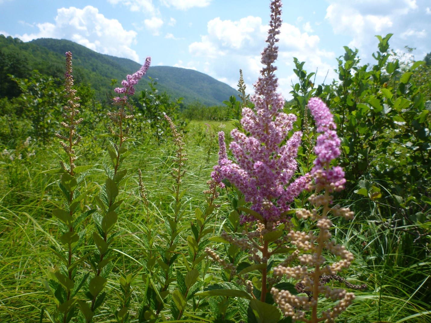
Steeplebush flowers in a marsh.
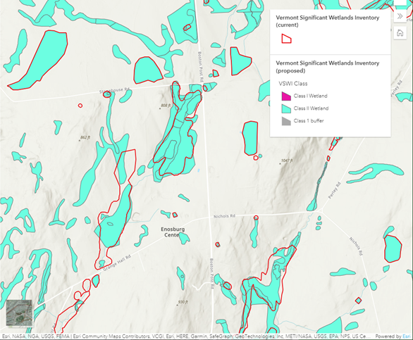
Interactive map shows the current wetland map outlined in red and the proposed map in teal.